Showing posts with label Nanakita River. Show all posts

Dec 19, 2012

Along the river

 Straight ahead is a two story apartment building. The hole allows entrance into an inner court. I walked through it but there was no other way to get out. The space was used for parking and entrances to individual apartments.

 Back along the river, part of the path along the river is block for construction, I saw a beautiful white crane.
 Also some ducks.
 Daikon, Japanese radishes, are dried in the sun so that they can be used all winter. One of the main uses is to put them in wooden vats with soy sauce and after aging, eat them as a side dish to your bowl of rice.
This is one of the new bankings that have been built to replace those that collapsed during the quakes.

Dec 18, 2012

In my neighborhood

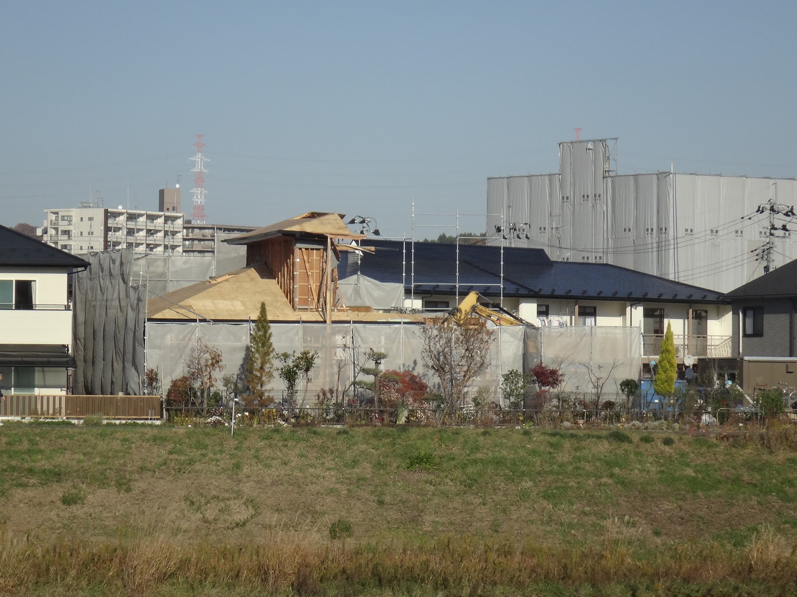
 The rich guy's house is disappearing rapidly. The large building behind and to the right of it is where they are taking down what used to be a police office building.
 Three teenage boys fishing
 More of the riverbank work but on the side opposite my condo.
 This empty lot used to be a fairly large apartment building that was made unlivable by the earthquakes.
 More riverbank work. Here they seem to have finished the bank and are in the process of removing the coffer dam. My condo is across the river in the distance.
Looking back on the site in the previous picture.  If the bank had actually given way, the apartment building would have tipped and become impossible to live in.

Oct 10, 2012

In Nanakita Park

 This was taken from the top of the waterfall, an artificial hill that had been closed since the quake.
 There are flower beds scattered around the park and they constantly replace the plants so that they are always in flower.
 This is the duck pond. Just a few days ago I showed a picture of it with no water. This man had a whole loaf of bread that he was feeding to the birds.
Walking along the top of the levee on my way home, I took this picture of the current state of the river bank reconstruction. My apartment complex is on the left, beside the path that I was standing on.

Oct 4, 2012

FIreworks at the local shrine's festival

 One of the reasons my daughter and granddaughter visited when they did was to see the fireworks at the local shrine. The display is the highpoint of the river festival, which traditionally was to ask the river gods to be nice to people during the next year - no floods, for example. One traditional part of festivals associated with water is the release of lanterns. In the past lanterns were let in the river by representatives of the families and represented the souls of the departed. The lanterns contained a candle and they were allowed to float down the river to the sea. However, this caused a lot of fires along the river banks, so now they are only allowed to go a few hundred meters down river before they are stopped by a rope and collected.
 The fireworks display was much better than I expected.
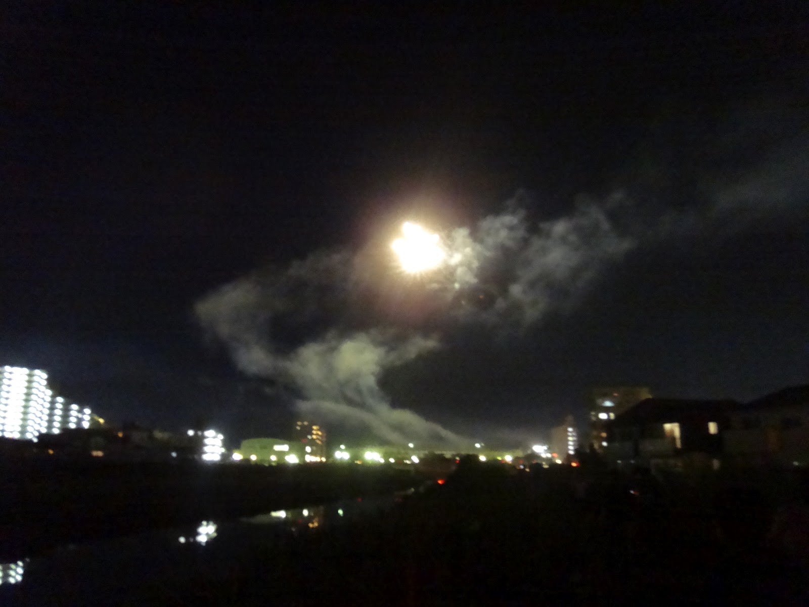
 My camera has a fireworks setting but it was dark so I could not use it.
 Not using the setting resulted in 'artistic' pictures like this.
At a flat area near the bridge and more or less in front of the shrine, they have a traditional festival with live music and dancing on a raised platform and lots of booths selling food, beer, and things for the kids. The music is provided by flutes and drums and has a very driving beat. I enjoy it, but the area is really crowded. We decided not to go there this year, considering the fireworks display to be sufficient. Tomone, my granddaughter really like it. If you are interested in the festival part, last year I took a bunch of pictures and placed them on this blog, so just go back to last August, around the middle of the month, and you will find them.

Sep 26, 2012

Nihon Jinja and then onward

 This little sub shrine had offerings of food and drink in front of it.
 This seemed to be the main building of the shrine and was quite new.
 Two bridges over the river.
 This man was fishing with a net. I do not know if he was a commercial fisherman or just someone who was trying to feed a large family.
 Another fairly large river entered the Nanakita River for the south and I had to cross it on a bridge. This shows the view toward the ocean.
Turning around, I took this picture of the smaller river. Actually it was so straight that it looked more like a canal, but looking at my map made me believe that it is just a natural river that has been straightened a bit and confined by levees.

Sep 25, 2012

Still heading toward the sea

 A little further on I came to a large playground, all at the level of the levee top path. I rested for a while under the roof on the left and then continued. I was never able to decide if this was an artistic jungle gym made from ropes or an artistic sculpture that the kids could climb on.
 At the east end of the part there was a small unnamed shrine.
 This is what was under the roof in the above picture. Inside the miniature shrine there was a piece of wood with faded writing on it. The box in front is for small gifts of coins and the rope connects to a bell that you can use to make sure that the gods realize that you are there bribing them.
 This is a large pile of flotsam and jetsam that washed up during the flooding.
 Nihon Jinja, or Two Tree Shrine if you read the kanji or possibly Japan Shrine if you hear it, is nestled in a small grove of trees on the inland side of the levee.
The paint was getting old but it must be quite garish when the traditional bright red paint is fresh.

Sep 23, 2012

At the Atago Shrine

 This is the entrance to the shrine grounds. I was a bit surprised at the size of the building (straight ahead) that appeared to contain the administrative and meeting areas.
 This is the main shrine building.
 Up close I could see the access route to the admin building and also more small buildings in the back.
 Putting my camera up against a hole in the door, I was able to get this picture of the main altar.
 This sign, which was beside the main shrine, seems to give a different name for the shrine, here it is the Yasaka or maybe the Hachisaka Shrine. The sign also retells an old story about how a Prince lost his crown while crossing the Nanakita River. In the past this river was called the Kanmori River, or Crown River.
Walking around the back, I found this nice little shrine, however the doors were closed so I could not see inside.

Sep 22, 2012

Along the Nanakita River

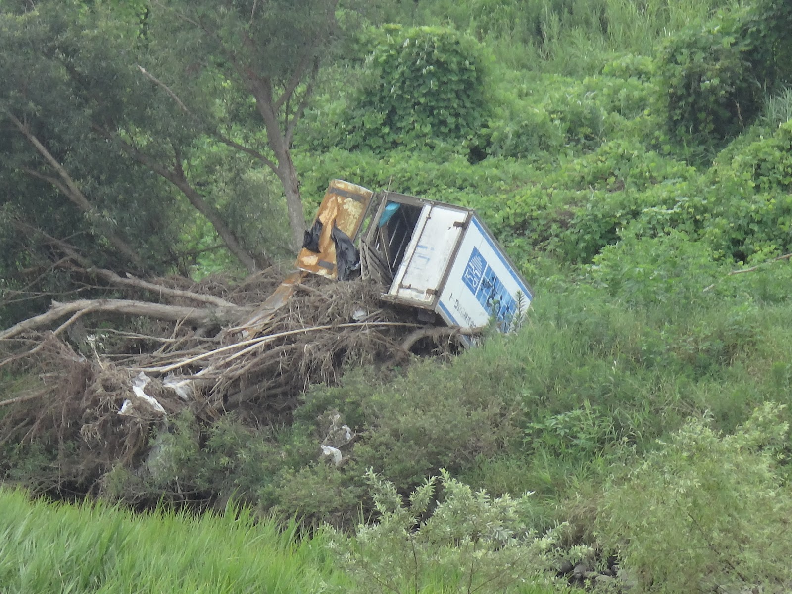
 As I walked, I noticed this truck on the far side of the river. From the looks of it, flood waters must have carried it here during one of the heavy rains we had during the summer. The truck is on top of what is obviously a tree that was also brought from someplace else.
 Near my condo, the river is fairly deep, or at least it  has a fair amount of water in it. Here there is almost no water and they are using the occasion to work on the bank.
 This is a large chunk of concrete and reinforcing rods that appears to have come from someplace else. It may have been part of an old mostly destroyed bridge that rolled along in the flood waters.
 Although there was flooding earlier in the year, now the river is unusually low. These lumps in the river are actually the remaining ends of wooden posts that used to hold up a bridge. A new span is about 100 meters to the right.
 This is a bus stop at the point where the river and the road come together again. I bought a sports drink from a machine and sat on the bench resting for a while. When I got up to continue, I noticed the long, deep crack that had been caused by the earthquakes.While resting, I had decided that it was cool enough that I would actually walk to the ocean, a trip of at least 15 kilometers. On my map there were a number of bus routes that I thought would get me home. I had some problems in relations to this but I will wait until the appropriate time to discuss them. Also, according to my map, there were paved bicycle / pedestrian paths along both banks. At first I had thought to follow the north bank, but from the bench I could see that they were working on the north bank of the levee and I could not pass. So I walked back to the previous intersection and crossed the bridge to the south side of the river.
After walking a kilometer or so, I came to the Atago Shrine. Actually there are many shrines with this name around Sendai. I think they are all related in some way, probably to the same branch of Shinto.

Sep 21, 2012

Beginning of a walk to the ocean

 This is in downtown Sendai. Before I arrived here, there was some kind of activity that left trash on the streets. Now, the people involved are sweeping it all up. I think that this may have its roots in Japanese grade schools where the students clean the buildings and rooms, rather than paid janitors.
 I decided to go out for a long walk. The day was a bit cooler than the hot weather that we had been having. For no particular reason I decided to walk east. A few days ago (remember the fishing pole?) I showed this construction from the other side. It is on the bank of a stream that enters the main river. There is now construction from here to the bridge to Yaotome. My apartment is in the middle.
 I followed the paved path along the riverside. At one point I found all of this stuff that had been washed down river piled up against a bridge.
 The river swings a way from the road which is off to the right. The area is quite fertile and there are large fields. I think this might be soybeans.
 There are also green houses.
 This is a field of green onions, not the small American kind, but the large ones that are an essential part of Japanese cooking.
This is a bridge for a pipeline, probably gas.