
We continue walking along the long straight road and soon we could actually see the temple complex on the top of the hill. At about this point we started wondering where the access road was. Some of the hill looked quite steep and neither of us was particularly enthusiastic about a long uphill slog.
 As we got nearer the base of the hill we passed a field of reeds that were almost as tall as my head. The road was raised about a meter above the rest of the land so you can see how tall these stems are. I wonder what they will look like in summer when the new plants grow in.
 We reached the higher areas of the north side of the flat area and discovered that the flat had once been part of the ocean. We knew this because we could see where the action of the waves had cut away the sides of the lower slopes. You can see one of these places right in the middle of the picture.
 The next picture shows one reason why it is easy to get lost when walking through rural Japan. The round green and white sign in the middle says that this is a bus stop in front of the local grade school. However, the black and white sign on the wall says that this is the area communications (or traffic) center. Just to the right of the circular sign, there is a sign on the building itself that says the same thing. My map insisted that there was a school here. We decided that it was probably a school in the past and that after it had closed due to a lack of children, they had turned it into a government supported center. In any case, if we had been trying to use it as a landmark for navigation, we might have had problems. Ian and I took a short break and started joking about all the misleading and strange signs we had seen during our Henro Pilgrimage. Compared to some of those, this was not bad at all.
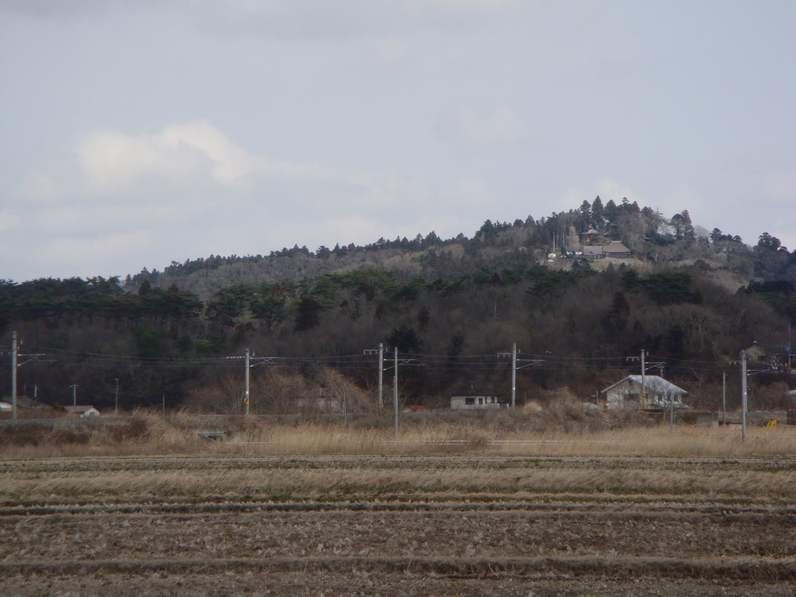
 As you can see, the farms in the area have lots of space around the buildings. The fields when right up to the edge of the woods on the hills.
No comments:
Post a Comment